
With containment now at 73% and the threat to structures significantly reduced, the Cram Fire Unified Command (Northwest Complex Incident Management Team 10 and Oregon State Fire Marshal Green Team) will begin transitioning the management of the incident to Northwest Complex Incident Management Team 3 (NW Team 3). NW Team 3 will assume command of the Cram Fire and other nearby fires on Tuesday, July 22, following a full day of shadowing their counterparts today. The outgoing team members would like to thank the local community for their outpouring of support.
Fire managers requested a reconnaissance flight to assess conditions across the fire. The flight revealed little to no heat within the interior or along the entire perimeter of the fire, rendering bucket work unnecessary. Available aerial resources were redirected to support the nearby Butte Creek and Greeley Heights fires.
Following field verification and conversations with landowners, fire personnel have been able to learn more about destroyed structures within the fire’s perimeter. After completing damage assessments in previously inaccessible terrain, structural firefighters determined that two structures previously identified as residences were actually outbuildings. Crews also discovered 12 additional destroyed outbuildings, such as barns, workshops, pump houses and sheds, bringing the total count of destroyed structures to 2 residences and 14 outbuildings.
Firefighters continue with the mopping-up hot spots and patrolling containment lines. Wildland crews on the east side of the fire, near Grater Butte, remain focused on fortifying constructed lines, increasing their width for additional assurance. Structural resources are gradually demobilizing as the threat to homes decreases.
Evacuations: Evacuations remain in effect, but some zones have recently been downgraded. Jefferson, Wasco and Crook County Sheriffs have issued Level 3 (GO NOW), Level 2 (BE SET), and Level 1 (BE READY) evacuations across multiple zones. Please refer to official evacuation maps for the most up-to-date info.
Wasco County: tinyurl.com/WascoCountyEvacMap
Crook County: tinyurl.com/
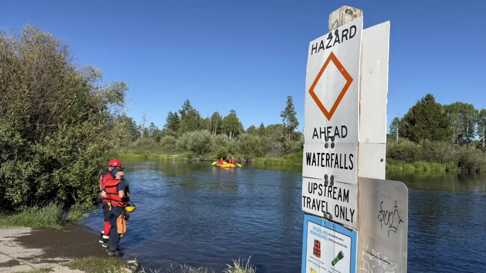
Recreation/Closures: At this time, there are no closures to BLM land. Be advised that conditions may change at anytime; before recreating, check local fire conditions and closures.
Smoke Outlook: An interactive smoke map for your area is available at https://fire.airnow.gov.