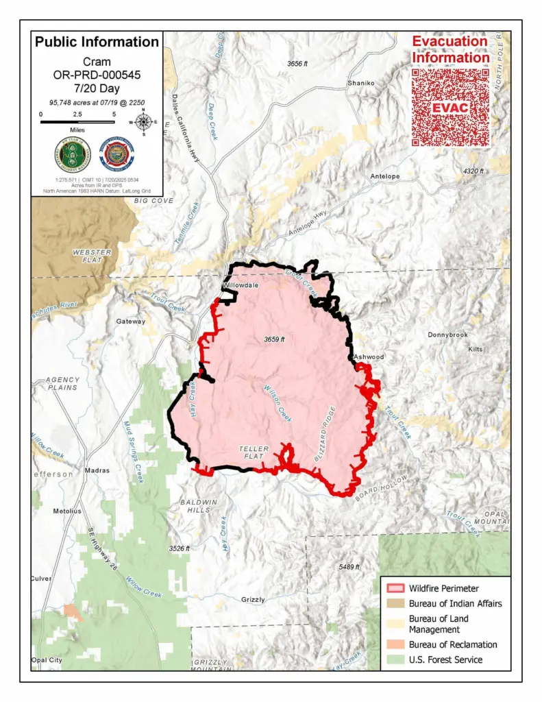
After nearly a week of firefighters’ steady work around the clock, the Cram Fire is now 49% contained. Containment is achieved when fire managers are confident the completed control lines will hold.
Yesterday, crews continued gridding near the fire’s perimeter, working into the interior to locate and extinguish any remaining heat. In the rugged terrain near Grater Butte and Calf Gulch, hand crews successfully connected sections of dozer and hand line. Favorable weather in the fire’s southeastern spur allowed firefighters to continue to improve lines. Fire behavior has moderated, with only minimal smoke observed well inside the fire perimeter. Night operations continue to play a key role in scanning for and eliminating hotspots or flare-ups that could threaten containment lines.
Today, crews will continue to focus work on the southern edge. To reduce materials that have the potential of fueling spot fires, saw crews are thinning juniper trees along fire lines. Wildland crews, supported by engines, will conduct systematic gridding to locate and remove any remaining heat that could affect the integrity of established control lines.
Thanks to the outstanding work by firefighters over the past week and a decreasing threat to homes, the Oregon State Fire Marshal (OSFM) will begin adjusting its response. Some structure protection crews and engines will be released from the Cram Fire to return to their home districts. Remaining personnel will continue working around structures to extinguish hot spots and ensure any lingering threats to homes are addressed.
The Butte Creek Fire was reported late Friday night, July 18, on Confederated Tribes of Warm Springs land about 30 miles northwest of Madras. For updates, follow the CTWS Fire Management Facebook page or email javin.dimmick@ctwsbnr.org. For travel info and road conditions, visit tripcheck.com.
Weather: Cooler temperatures and higher humidity will persist into early next week, continuing to moderate fire behavior. Monday brings a slight chance of thunderstorms and showers.
Evacuations: Evacuations remain in effect. Jefferson, Wasco and Crook County Sheriffs have issued Level 3 (GO NOW), Level 2 (BE SET), and Level 1 (BE READY) evacuations across multiple zones. Please refer to official evacuation maps for the most up-to-date info. Jefferson County: tinyurl.com/JCSOEvacMap, Wasco County: tinyurl.com/WascoCountyEvacMap, Crook County: tinyurl.com/CrookCountyEvacMap
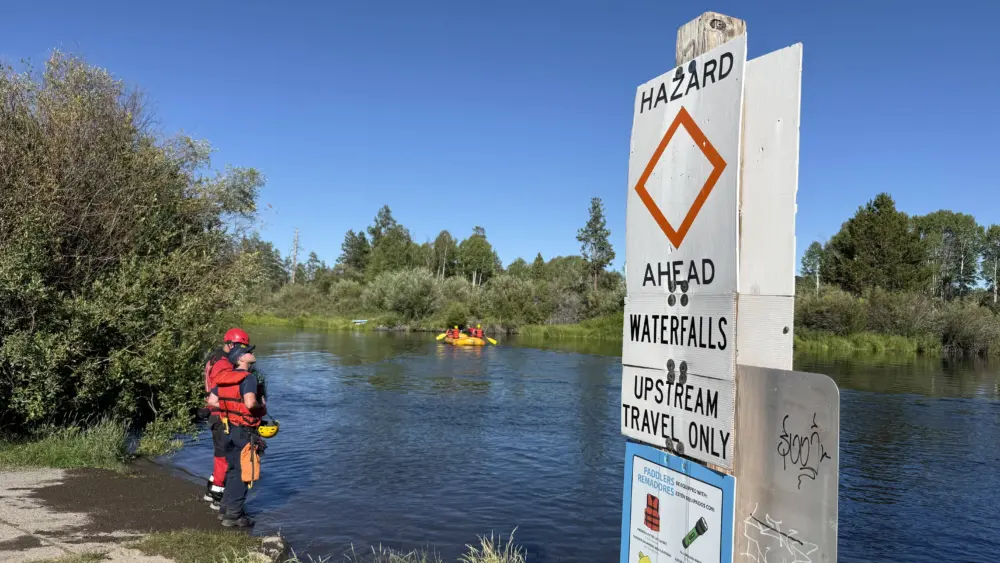
Recreation/Closures: At this time, there are no closures to BLM land. Be advised that conditions may change at anytime; before recreating, check local fire conditions and closures.
Smoke Outlook: An interactive smoke map for your area is available at https://fire.airnow.gov.
Safety: The public plays an important role in preventing the next wildfire; use caution with all ignition sources. For prevention tips visit, https://keeporegongreen.org.